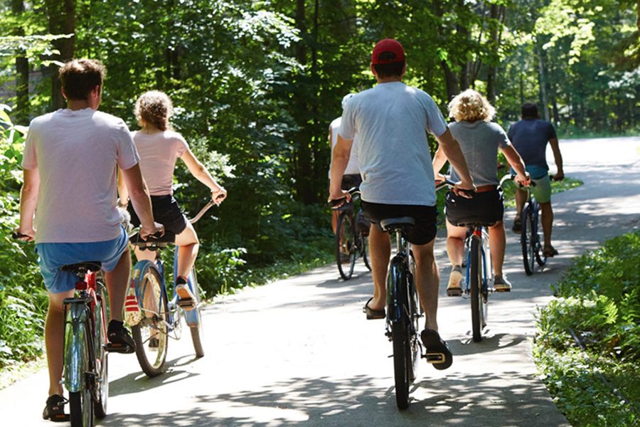
THINGS TO DO #2

BIKING IN PRINCETON

Bicycling enthusiasts can choose from over 150 miles of mapped biking routes on eight back-road tours that begin in downtown Princeton.

Bike routes in Princeton range from 8 to 34 miles and from flat to quite hilly. These bike routes will take you through some of the most beautiful countryside in central Wisconsin.

Park your car in the downtown parking lot and head out to explore the back roads!

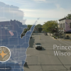
The following map is an overview of the areas covered by our bike maps of the Princeton area. More detailed maps of the eight bike routes follow…with descriptions. You can pick up a map from our Visitor’s Information Center or download them from the column on the right.

BIKE ROUTE MAP DOWNLOADS

VO2 Max Route – 34 miles
Huckleberry’s Trail – 15 miles
Rustic River – 22 miles
Oxbow Trail – 8 miles
Tuttle Creek Trek – 30 miles
Mecan Crossing – 19 miles
Little Northwest Passage – 11 miles
Northwest Passage – 28 miles

Please note: Roads immediately surrounding the city of Princeton may experience some moderate, fast moving traffic. Reasonable caution should be exercised at all times. The Princeton Chamber of Commerce is not responsible for liability incurred by any cyclist using the map route.

NORTHERN PRINCETON BIKE ROUTES

Huckleberry's Trail

Difficulty Level: Easy
Distance: 15 Miles

15 miles of mostly flat, secluded back roads with a couple of challenging hills. Pack your fishing pole and wet a line at two great spots along the Fox River.

Rustic River

Difficulty Level: Moderate
Distance: 22 Miles

The winding White River crosses your path numerous times when you ride over 22 miles of blacktop and gravel roads. Enjoy the wildlife while traveling through thousands of acres of public land.

WESTERN PRINCETON BIKE ROUTES

Little Northwest Passage

Difficulty Level: Easy
Distance: 11 Miles

A shortened version of Big Northwest Passage with only 11 miles of beautifully secluded roads leading you back to Princeton. Sparse motor vehicle traffic.

Tuttle Creek Trek

Difficulty Level: Moderate
Distance: 30 Miles

Pack your own swimsuit and a picnic lunch. Halfway through your 30 mile ride, stop at Tuttle Lake’s public beach. Take a refreshing dip before touring more beautiful country on fairly level roads coming home.

Mecan Crossing

Difficulty Level: Moderate
Distance: 19 Miles

An easy 19 mile ride through farm country. Enjoy crossing over the Mecan River, noted for it’s canoe trips and water fowl.

NORTHWEST, VO2 MAX AND OXBOW BIKE ROUTES

Northwest Passage

Difficulty Level: Moderate
Distance: 28 Miles

Very scenic 28 mile ride along ridges, lowlands, and creeks, leading you to neighboring Neshkoro and back.

Oxbow Trail

Difficulty Level: Easy
Distance: 8 Miles

Short and sweet! Eight miles of fairly hilly country winding along the Fox River.

VO2 Max

Difficulty Level: Extreme
Distance: 34 Miles

Test your endurance on our equivalent to the famous 52k Birkebenner Trail. 34 miles thru the “Alps of Green Lake Country”. Ride around Big Green Lake, enjoy the beauty of your surroundings and get the best workout you’ve ever had.

#princetonwi